Image by the Met Office
Last Updated: 10 November 2025
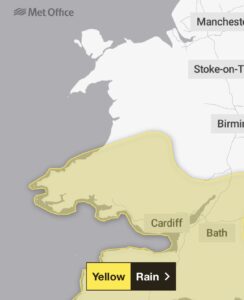
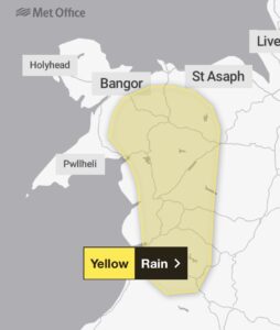
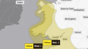
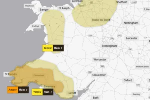
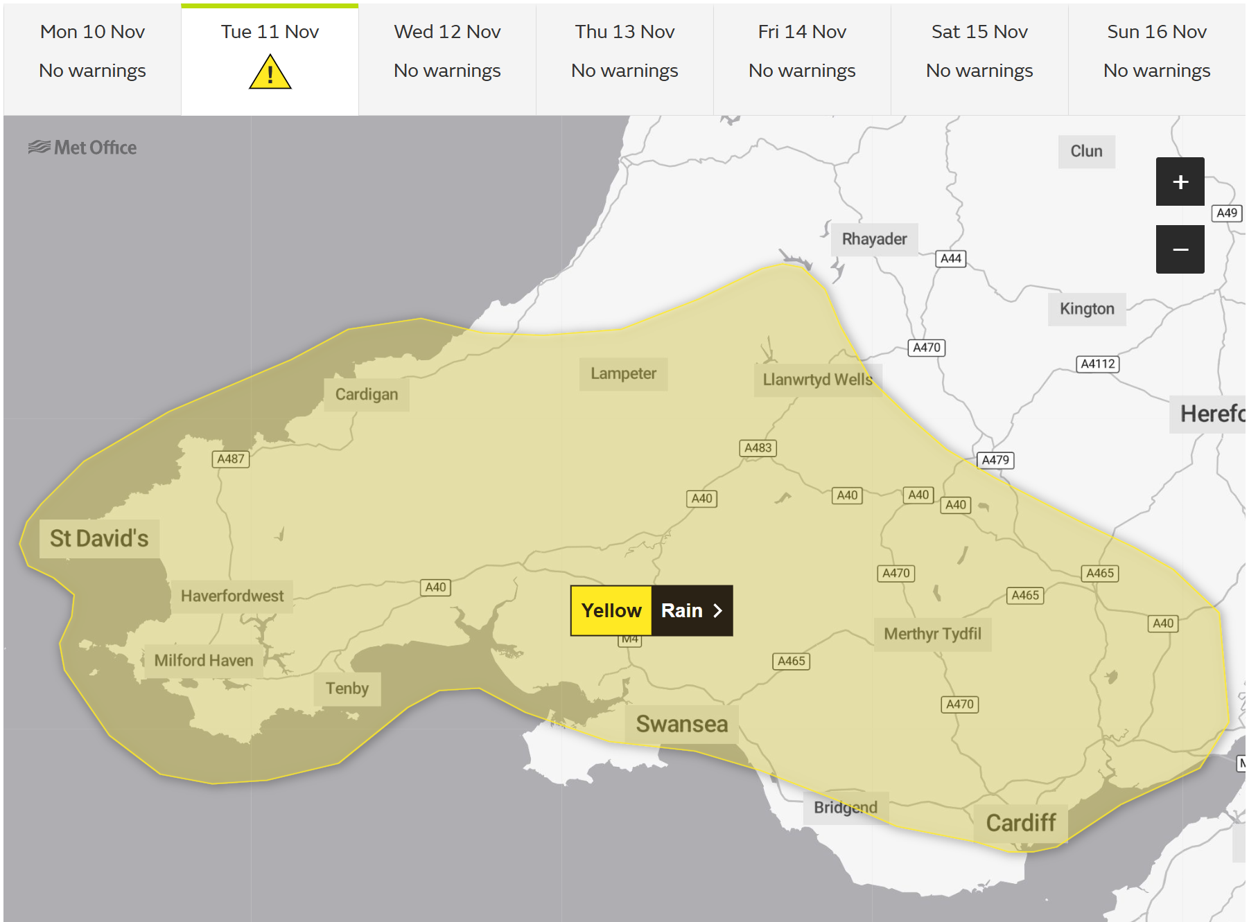
A yellow weather warning is in place for Tuesday across much of Wales, with forecasters predicting heavy rain that could bring flooding and widespread disruption. ⚠️🌧️
The Met Office has issued the warning from 07:00 GMT until 23:59 GMT, with south and mid Wales expected to bear the brunt of the wet weather.
Between 30 to 55mm of rain is forecast, with some areas seeing 60-80mm. The timing is particularly concerning as it comes just days after flooding in Carmarthen that one local business owner described as the “worst in living memory”, meaning the ground is already saturated in many areas.
The Met Office has warned of “difficult travelling conditions” and delays, with bus and train timetables “probably” impacted in some areas. Local power supplies could also experience interruptions.
The heaviest rain is expected during the afternoon and early evening, before easing late on Tuesday night.
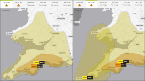
“This warning may be extended tomorrow, or a fresh warning issued for Wednesday morning, should confidence in a wetter scenario increase,” forecasters at the Met Office said.
Residents in properties at risk of flooding are advised to prepare an emergency flood kit in advance.
“Give yourself the best chance of avoiding delays by checking road conditions if driving, or bus and train timetables – amending your travel plans if necessary,” the Met Office added.
In case of power cuts, home and business owners are advised to stock “torches and batteries, a mobile phone power pack and other essential items”.
The following regions and local authorities are affected by Tuesday’s weather warning: Blaenau Gwent, Bridgend, Caerphilly, Cardiff, Carmarthenshire, Ceredigion, Merthyr Tydfil, Monmouthshire, Neath Port Talbot, Newport, Pembrokeshire, Powys, Rhondda Cynon Taf, Swansea, Torfaen, and Vale of Glamorgan.